Geolocate

Daliburgh topographic map

Click on the map to display elevation.

About this map

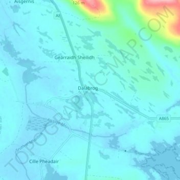
Name: Daliburgh topographic map, elevation, terrain.

Location: Daliburgh, Western Isles, Scotland, HS8 5SS, United Kingdom (57.14781 -7.39133 57.18781 -7.35133)

Average elevation: 13 m

Minimum elevation: -3 m

Maximum elevation: 135 m

Other topographic maps

Click on a map to view its topography, its elevation and its terrain.

St Kilda

United Kingdom > Scotland > Western Isles

Average elevation: 11 m

Mingulay

United Kingdom > Scotland > Western Isles

Average elevation: 43 m

Gear up for your next adventure:

🧭GPS Tracker - Track your location in remote areas safely
🥾Trail Hiking Boots - Supportive boots for rough trails
🧰Multitool Knife - Compact and versatile tool for outdoor use
Camping Coffee Maker - Brew fresh coffee anywhere on the topographic map
🪑Ultralight Camping Stool - Compact seating for rest stops during long hikes

As an Amazon Associate, this site earns from qualifying purchases at no extra cost to you.