Geolocate

Lavizán topographic map

Click on the map to display elevation.

About this map

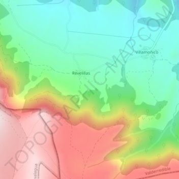
Name: Lavizán topographic map, elevation, terrain.

Location: Lavizán, Revelillas, Valderredible, Cantabria, 39250, Spain (42.76517 -4.08525 42.78517 -4.06525)

Average elevation: 940 m

Minimum elevation: 777 m

Maximum elevation: 1,166 m

Gear up for your next adventure:

Camping Tent - Weather-resistant tents suitable for 2 to 6 people
🧴Outdoor Sunscreen - High SPF protection for high-altitude UV exposure
👟Leg Gaiters - Keep debris, mud, and snow out of your boots
👟Trail Running Shoes - Agile footwear for fast-paced topographic exploration
🎒Hiking Backpack - Lightweight and ergonomic backpacks for day hikes or multi-day treks

As an Amazon Associate, this site earns from qualifying purchases at no extra cost to you.