Geolocate

Tapon topographic map

Click on the map to display elevation.

About this map

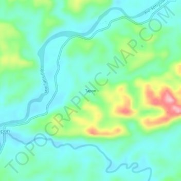
Name: Tapon topographic map, elevation, terrain.

Location: Tapon, Tadó, San Juan, Chocó, RAP Pacífico, Colombia (5.26637 -76.50958 5.30637 -76.46958)

Average elevation: 125 m

Minimum elevation: 77 m

Maximum elevation: 266 m

Gear up for your next adventure:

🥾Mountain Trail Shoes - High-traction shoes for mountain trails
🎒Fully Waterproof Backpack - Total protection for photography gear and electronics
👟Trail Running Shoes - Agile footwear for fast-paced topographic exploration
Camping Groundsheet - Protect your tent from moisture and dirt
🔦LED Headlamp - Hands-free lighting for early morning starts or late finishes

As an Amazon Associate, this site earns from qualifying purchases at no extra cost to you.