Geolocate

Hajipur topographic map

Click on the map to display elevation.

About this map

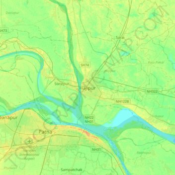
Name: Hajipur topographic map, elevation, terrain.

Location: Hajipur, Vaishali, Bihar, 844101, India (25.53057 85.04904 25.85057 85.36904)

Average elevation: 50 m

Minimum elevation: 40 m

Maximum elevation: 65 m

Gear up for your next adventure:

🥾Waterproof Hiking Boots - Essential footwear for rugged terrain and wet Canadian trails
🛁Quick-Dry Microfiber Towel - Space-saving towel that dries rapidly on the move
🧢Sun Protection Cap - Breathable cap to protect from sun exposure
🛶Kayak Dry Bag - Waterproof storage for kayaking adventures
🥾All-Terrain Hiking Boots - Versatile boots for varied hiking conditions

As an Amazon Associate, this site earns from qualifying purchases at no extra cost to you.