Geolocate

McNeil topographic map

Click on the map to display elevation.

About this map

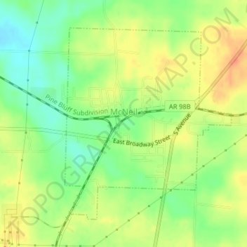
Name: McNeil topographic map, elevation, terrain.

Location: McNeil, Columbia County, Arkansas, United States (33.33614 -93.21763 33.35709 -93.19578)

Average elevation: 105 m

Minimum elevation: 83 m

Maximum elevation: 126 m

Gear up for your next adventure:

🥾Mountain Trail Shoes - High-traction shoes for mountain trails
🥾Hiking Leggings - Comfortable leggings for outdoor activities
🥽Outdoor Goggles - Protective eyewear for outdoor activities
🔋Emergency Crank Radio - Weather alerts and power without needing batteries
🥾Trail Hiking Shoes - Durable shoes designed for rugged trails

As an Amazon Associate, this site earns from qualifying purchases at no extra cost to you.