Geolocate

Cetinale topographic map

Click on the map to display elevation.

About this map

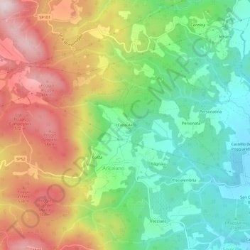
Name: Cetinale topographic map, elevation, terrain.

Location: Cetinale, Ancaiano, Sovicille, Siena, Tuscany, 53018, Italy (43.28049 11.18463 43.32049 11.22463)

Average elevation: 393 m

Minimum elevation: 218 m

Maximum elevation: 630 m

Gear up for your next adventure:

🧥Waterproof Jacket - Lightweight rain jackets for hiking and outdoor activities
🧴Outdoor Sunscreen - High SPF protection for high-altitude UV exposure
🛶Kayak Dry Bag - Waterproof storage for kayaking adventures
🚲Bike Repair Kit - Essential tools for on-trail mechanical issues
🥽Outdoor Goggles - Protective eyewear for outdoor activities

As an Amazon Associate, this site earns from qualifying purchases at no extra cost to you.