
Xinglong topographic map
Interactive map
Click on the map to display elevation.
About this map
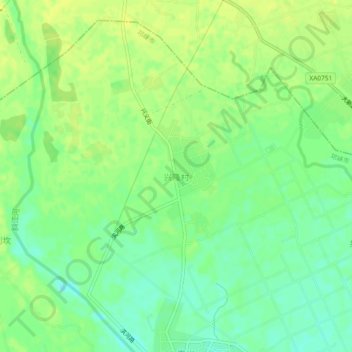
Name: Xinglong topographic map, elevation, terrain.
Location: Xinglong, Chengdu, Sichuan, China (30.43534 103.63910 30.47534 103.67910)
Average elevation: 485 m
Minimum elevation: 474 m
Maximum elevation: 492 m
Other topographic maps
Click on a map to view its topography, its elevation and its terrain.