Geolocate

Angoon topographic map

Click on the map to display elevation.

About this map

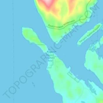
Name: Angoon topographic map, elevation, terrain.

Location: Angoon, Unorganized Borough, Alaska, 99820, United States (57.48333 -134.60389 57.52333 -134.56389)

Average elevation: 19 m

Minimum elevation: -11 m

Maximum elevation: 197 m

Gear up for your next adventure:

🧶550 Survival Paracord - Versatile utility cord for emergency repairs and rigging
Lightweight Camping Tent - Portable shelter optimized for Canadian backcountry camping
🌡️Emergency Mylar Blankets - Compact thermal protection for unexpected nights outdoors
🚲Heavy Duty Bike Lock - Secure your bike at the trailhead or during stops
💡Portable Camping Lamp - Rechargeable lamp for campsite lighting

As an Amazon Associate, this site earns from qualifying purchases at no extra cost to you.