Geolocate

Angkin topographic map

Click on the map to display elevation.

About this map

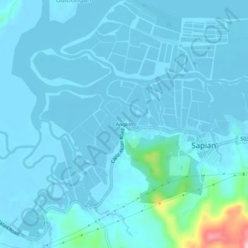
Name: Angkin topographic map, elevation, terrain.

Location: Angkin, Sapian, Capiz, Western Visayas, Philippines (11.47759 122.57089 11.51759 122.61089)

Average elevation: 15 m

Minimum elevation: -4 m

Maximum elevation: 200 m

Gear up for your next adventure:

🧤Thermal Hiking Gloves - Grip-enhanced gloves for cold-weather altitude trekking
🥘Camping Cookware Set - Compact nesting pots and pans for trail cooking
💡LED Headlamp - Hands-free illumination for night hiking and camping
👟Trail Running Shoes - Agile footwear for fast-paced topographic exploration
🥾Mountain Trail Shoes - High-traction shoes for mountain trails

As an Amazon Associate, this site earns from qualifying purchases at no extra cost to you.