
La Ciudad topographic map
Interactive map
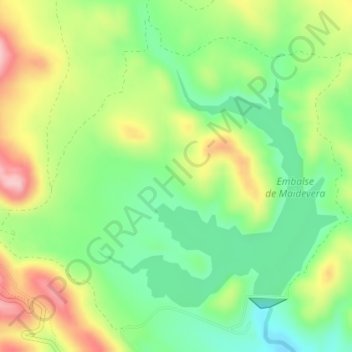
Click on the map to display elevation.
About this map
Name: La Ciudad topographic map, elevation, terrain.
Location: La Ciudad, Aranda de Moncayo, Aranda, Zaragoza, Aragón, España (41.57403 -1.77999 41.59403 -1.75999)
Average elevation: 826 m
Minimum elevation: 749 m
Maximum elevation: 936 m