Geolocate

Hasta Kalan topographic map

Click on the map to display elevation.

About this map

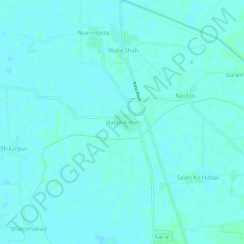
Name: Hasta Kalan topographic map, elevation, terrain.

Location: Hasta Kalan, Fazilka Tahsil, Fazilka District, Punjab, India (30.45627 74.01816 30.49627 74.05816)

Average elevation: 179 m

Minimum elevation: 177 m

Maximum elevation: 182 m

Gear up for your next adventure:

🐕Hiking Dog Pack - Let your canine companion carry their own water and food
🧥Insulated Jacket - Keep warm in cold outdoor conditions
🥾Trail Hiking Shoes - Durable shoes designed for rugged trails
🔦LED Headtorch - Bright and durable light for night activities
🧶550 Survival Paracord - Versatile utility cord for emergency repairs and rigging

As an Amazon Associate, this site earns from qualifying purchases at no extra cost to you.