
Thank you for supporting this site ❤️
Make a donation
Make a donation
Gear up for your next adventure:
As an Amazon Associate, this site earns from qualifying purchases at no extra cost to you.
DF topographic map
Click on the map to display elevation.
Thank you for supporting this site ❤️
Make a donation
Make a donation
Gear up for your next adventure:
As an Amazon Associate, this site earns from qualifying purchases at no extra cost to you.
About this map
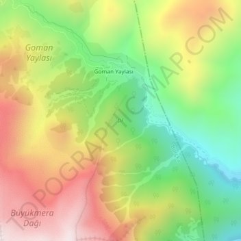
Name: DF topographic map, elevation, terrain.
Location: DF, Goman Yaylası, Borçka, Artvin, Black Sea Region, Turkey (41.48266 42.09888 41.49256 42.10832)
Average elevation: 2,157 m
Minimum elevation: 1,771 m
Maximum elevation: 2,584 m
Thank you for supporting this site ❤️
Make a donation
Make a donation
Gear up for your next adventure:
As an Amazon Associate, this site earns from qualifying purchases at no extra cost to you.