
Foraker topographic map
Interactive map
Click on the map to display elevation.
About this map
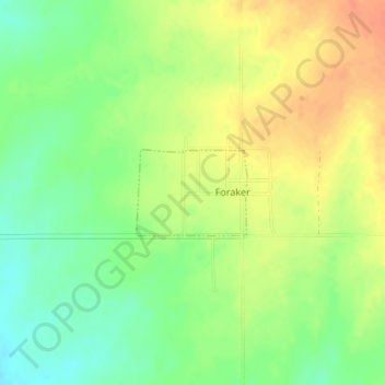
Name: Foraker topographic map, elevation, terrain.
Location: Foraker, Osage County, Oklahoma, États-Unis d'Amérique (36.86920 -96.57403 36.87525 -96.56428)
Average elevation: 385 m
Minimum elevation: 363 m
Maximum elevation: 405 m