
Xã Tân Hội topographic map
Interactive map
Click on the map to display elevation.
About this map
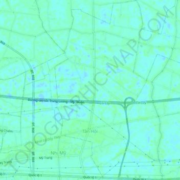
Name: Xã Tân Hội topographic map, elevation, terrain.
Location: Xã Tân Hội, Thị xã Cai Lậy, Tỉnh Tiền Giang, Vietnam (10.40298 106.14613 10.44825 106.18626)
Average elevation: 3 m
Minimum elevation: -1 m
Maximum elevation: 6 m