Geolocate

Gunung Gading topographic map

Click on the map to display elevation.

About this map

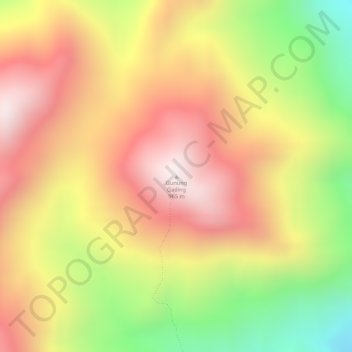
Name: Gunung Gading topographic map, elevation, terrain.

Location: Gunung Gading, Lundu, Kuching Division, Sarawak, Malaysia (1.71367 109.83628 1.71377 109.83638)

Average elevation: 563 m

Minimum elevation: 117 m

Maximum elevation: 876 m

Other topographic maps

Click on a map to view its topography, its elevation and its terrain.

Sungai Rambungan

Malaysia > Sarawak > Lundu

Average elevation: 4 m

Pulau Sampadi

Malaysia > Sarawak > Lundu

Average elevation: 2 m

Gear up for your next adventure:

🧳Compression Sacks - Maximize space in your backpack by shrinking gear
🦯Trekking Poles - Reduced impact on joints for steep topographic climbs
🧢Outdoor Visor - Breathable visor for sunny hikes
🥾Mountaineering Boots - Supportive boots for climbing and high-altitude hiking
💡Compact LED Flashlight - Powerful and portable flashlight for outdoor use

As an Amazon Associate, this site earns from qualifying purchases at no extra cost to you.