
El Anneb topographic map
Interactive map
Click on the map to display elevation.
About this map
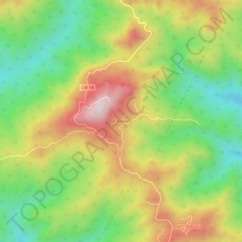
Name: El Anneb topographic map, elevation, terrain.
Location: El Anneb, Daïra El Amra, Aïn Defla, RADP (36.36049 1.86875 36.40049 1.90875)
Average elevation: 759 m
Minimum elevation: 503 m
Maximum elevation: 1,081 m