Geolocate

Neuplanitz topographic map

Click on the map to display elevation.

About this map

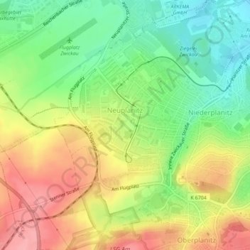
Name: Neuplanitz topographic map, elevation, terrain.

Location: Neuplanitz, Zwickau-Süd, Zwickau, Langenweißbach, Zwickau, Sachsen, 08134, Deutschland (50.68109 12.44063 50.70286 12.47094)

Average elevation: 333 m

Minimum elevation: 282 m

Maximum elevation: 389 m

Other topographic maps

Click on a map to view its topography, its elevation and its terrain.

Gear up for your next adventure:

Lightweight Backpacking Tent - Compact tent for efficient hiking trips
🧢Outdoor Cap - Protective cap for sun and rain during hikes
🚲Heavy Duty Bike Lock - Secure your bike at the trailhead or during stops
🥾Trail Hiking Boots - Supportive boots for rough trails
🥾Trail Hiking Shoes - Durable shoes designed for rugged trails

As an Amazon Associate, this site earns from qualifying purchases at no extra cost to you.