
Te Poi topographic map
Click on the map to display elevation.
About this map
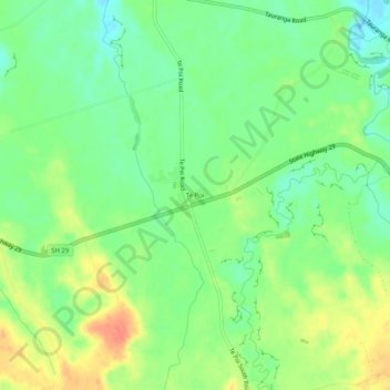
Name: Te Poi topographic map, elevation, terrain.
Location: Te Poi, Matamata Piako District, Waikato, New Zealand (-37.89144 175.82333 -37.85144 175.86333)
Average elevation: 72 m
Minimum elevation: 51 m
Maximum elevation: 100 m
Other topographic maps
Click on a map to view its topography, its elevation and its terrain.
Hapuakohe Range / Te Hapū-a-Kohe
New Zealand > Waikato > Matamata Piako District
Average elevation: 120 m