Geolocate

Ainavolu topographic map

Click on the map to display elevation.

About this map

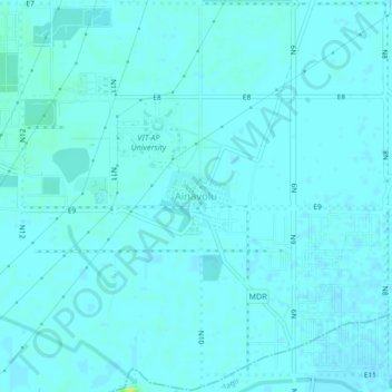
Name: Ainavolu topographic map, elevation, terrain.

Location: Ainavolu, Amaravati, Thullur, Guntur, Andhra Pradesh, India (16.46730 80.48328 16.50730 80.52328)

Average elevation: 22 m

Minimum elevation: 20 m

Maximum elevation: 36 m

Other topographic maps

Click on a map to view its topography, its elevation and its terrain.

Gear up for your next adventure:

🥾Light Trekking Boots - Supportive boots for multi-day treks
🥫Freeze-Dried Meals - Lightweight, high-calorie nutrition for multi-day treks
🥾Trail Hiking Socks - Comfortable socks to prevent blisters and fatigue
🥾Trekking Boots - Durable boots for long-distance trekking
🛰️Satellite Messenger - Emergency communication for areas with no cell service

As an Amazon Associate, this site earns from qualifying purchases at no extra cost to you.