
Jones Creek topographic map
Interactive map
Click on the map to display elevation.
About this map
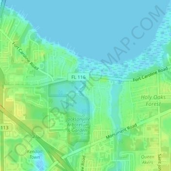
Name: Jones Creek topographic map, elevation, terrain.
Location: Jones Creek, Jacksonville, Duval County, Florida, 32225, USA (30.34738 -81.53836 30.35777 -81.53603)
Average elevation: 7 m
Minimum elevation: -2 m
Maximum elevation: 20 m
Other topographic maps
Click on a map to view its topography, its elevation and its terrain.
Dawson Island
USA > Florida > Jacksonville
Dawson Island, Jacksonville, Duval County, Florida, USA
Average elevation: 2 m