Geolocate

Solferino topographic map

Click on the map to display elevation.

About this map

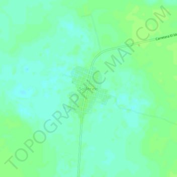
Name: Solferino topographic map, elevation, terrain.

Location: Solferino, Lázaro Cárdenas, Quintana Roo, 77330, Mexico (21.33175 -87.44844 21.37175 -87.40844)

Average elevation: 10 m

Minimum elevation: 5 m

Maximum elevation: 14 m

Gear up for your next adventure:

💡LED Headlamp - Hands-free illumination for night hiking and camping
🕶️Polarized Sunglasses - Reduces glare from snow and water at high elevations
🧤Rechargeable Heated Gloves - Extreme warmth for Canadian winter expeditions
🔭Outdoor Binoculars - Lightweight binoculars for birdwatching and hiking
🥾Waterproof Trail Shoes - Shoes designed to handle wet terrain

As an Amazon Associate, this site earns from qualifying purchases at no extra cost to you.