Geolocate

San Isidro topographic map

Click on the map to display elevation.

About this map

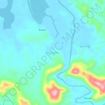
Name: San Isidro topographic map, elevation, terrain.

Location: San Isidro, Masbate, Bicol Region, Philippines (12.40841 123.34448 12.44841 123.38448)

Average elevation: 34 m

Minimum elevation: 0 m

Maximum elevation: 198 m

Gear up for your next adventure:

🛏️Camping Sleeping Mat - Comfortable mats for sleeping outdoors
🧥Softshell Jacket - Windproof and breathable jacket for hiking
🥾Mountain Trail Shoes - High-traction shoes for mountain trails
💡LED Camping Lantern - Illuminate your campsite with long-lasting lanterns
🧭GPS Outdoor Watch - Smart watch for navigation and fitness tracking in nature

As an Amazon Associate, this site earns from qualifying purchases at no extra cost to you.