Geolocate

Roggen topographic map

Click on the map to display elevation.

About this map

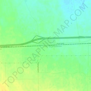
Name: Roggen topographic map, elevation, terrain.

Location: Roggen, Weld County, Colorado, 80652, United States (40.14748 -104.39218 40.18748 -104.35218)

Average elevation: 1,437 m

Minimum elevation: 1,426 m

Maximum elevation: 1,448 m

Gear up for your next adventure:

🛶Waterproof Dry Bags - Keep electronics and clothes dry during river crossings
🧼Travel Hand Sanitizer - Keep hands clean when water is scarce
Camping Coffee Maker - Brew fresh coffee anywhere on the topographic map
🧦Hiking Socks - Moisture-wicking and comfortable socks for long hikes
🥾Durable Hiking Shoes - Long-lasting shoes for frequent hiking

As an Amazon Associate, this site earns from qualifying purchases at no extra cost to you.