Geolocate

Pupuan topographic map

Click on the map to display elevation.

About this map

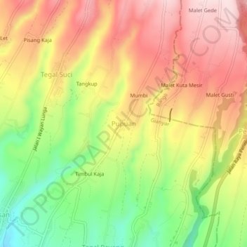
Name: Pupuan topographic map, elevation, terrain.

Location: Pupuan, Gianyar, Bali, Lesser Sunda Islands, Indonesia (-8.38555 115.30154 -8.34555 115.34154)

Average elevation: 774 m

Minimum elevation: 606 m

Maximum elevation: 918 m

Other topographic maps

Click on a map to view its topography, its elevation and its terrain.

Ubud District

Indonesia > Bali > Gianyar

Average elevation: 198 m

Pejeng

Indonesia > Bali > Gianyar

Average elevation: 201 m

Gear up for your next adventure:

🔭Compact Monocular - One-handed bird watching and trail spotting
🧳Compression Sacks - Maximize space in your backpack by shrinking gear
🧥Softshell Jacket - Windproof and breathable jacket for hiking
Backpacking Tent - Lightweight tent for long-distance hiking trips
🧥Softshell Hiking Jacket - The perfect balance of wind protection and breathability

As an Amazon Associate, this site earns from qualifying purchases at no extra cost to you.