Geolocate

Pullontown topographic map

Click on the map to display elevation.

About this map

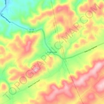
Name: Pullontown topographic map, elevation, terrain.

Location: Pullontown, Scott County, Virginia, United States (36.60233 -82.33320 36.64233 -82.29320)

Average elevation: 586 m

Minimum elevation: 451 m

Maximum elevation: 695 m

Other topographic maps

Click on a map to view its topography, its elevation and its terrain.

Duffield

United States > Virginia > Scott County

Average elevation: 457 m

Gate City

United States > Virginia > Scott County

Average elevation: 488 m

Duffield

United States > Virginia > Scott County

Average elevation: 457 m

Gear up for your next adventure:

🦌Outdoor Trail Camera - Monitor wildlife activity near your favorite spots
🧣Evaporative Cooling Towel - Beat the heat during intense summer climbs
🧢Outdoor Visor - Breathable visor for sunny hikes
🏃Hydration Running Vest - Carry water and maps close to your body for speed
🥾Approach Shoes - Shoes designed for climbing approaches and rugged trails

As an Amazon Associate, this site earns from qualifying purchases at no extra cost to you.