
Boating Harbor topographic map
Interactive map
Click on the map to display elevation.
About this map
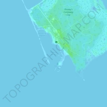
Name: Boating Harbor topographic map, elevation, terrain.
Location: Boating Harbor, South Abaco, The Bahamas (26.07948 -77.54150 26.08479 -77.53597)
Average elevation: 1 m
Minimum elevation: -1 m
Maximum elevation: 9 m
Other topographic maps
Click on a map to view its topography, its elevation and its terrain.
Little Harbour
Little Harbour, South Abaco, The Bahamas
Average elevation: 1 m