Geolocate

Mangagoy topographic map

Click on the map to display elevation.

About this map

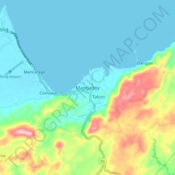
Name: Mangagoy topographic map, elevation, terrain.

Location: Mangagoy, Bislig, Surigao del Sur, Caraga, 8311, Philippines (8.14642 126.31530 8.22642 126.39530)

Average elevation: 63 m

Minimum elevation: 0 m

Maximum elevation: 251 m

Other topographic maps

Click on a map to view its topography, its elevation and its terrain.

Gear up for your next adventure:

🔥Camping Stove - Portable stoves to cook outdoors with ease
🥾Lightweight Hiking Shoes - Comfortable shoes for day hikes
🧦Thermal Socks - Warm socks for winter hiking or camping
🧼Biodegradable Camp Soap - Environmentally friendly cleaning for gear and body
❄️Traction Ice Cleats - Slip-on spikes for icy trails and winter hiking

As an Amazon Associate, this site earns from qualifying purchases at no extra cost to you.