
Make a donation
Gear up for your next adventure:
As an Amazon Associate, this site earns from qualifying purchases at no extra cost to you.
Good Enough topographic map
Click on the map to display elevation.
Make a donation
Gear up for your next adventure:
As an Amazon Associate, this site earns from qualifying purchases at no extra cost to you.
About this map
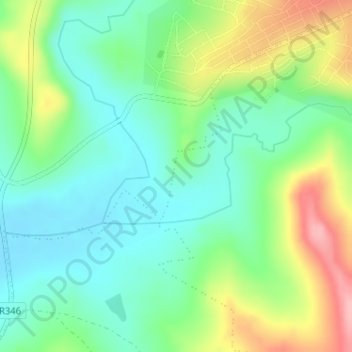
Name: Good Enough topographic map, elevation, terrain.
Average elevation: 488 m
Minimum elevation: 443 m
Maximum elevation: 575 m
Make a donation
Gear up for your next adventure:
As an Amazon Associate, this site earns from qualifying purchases at no extra cost to you.
Other topographic maps
Click on a map to view its topography, its elevation and its terrain.
Isidenge Main Forest
South Africa > Eastern Cape > Amathole District Municipality > Amahlathi Local Municipality > Zindenge
Average elevation: 1,061 m
Gxulu
South Africa > Eastern Cape > Amathole District Municipality > Amahlathi Local Municipality > Keiskammahoek
Average elevation: 809 m