Geolocate

Monte Bosso topographic map

Click on the map to display elevation.

About this map

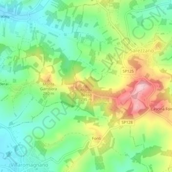
Name: Monte Bosso topographic map, elevation, terrain.

Location: Monte Bosso, Sarezzano, Alessandria, Piemonte, 15050, Italia (44.86195 8.90031 44.86205 8.90041)

Average elevation: 225 m

Minimum elevation: 147 m

Maximum elevation: 351 m

Gear up for your next adventure:

🧥Packable Rain Jacket - Breathable waterproof layer for unpredictable weather
🧢Hiking Sun Hat - Wide-brimmed protection for exposed mountain ridges
🥾Light Trekking Boots - Supportive boots for multi-day treks
🧥Ultralight Puffy Jacket - Maximum warmth that packs down to the size of an orange
🚲Heavy Duty Bike Lock - Secure your bike at the trailhead or during stops

As an Amazon Associate, this site earns from qualifying purchases at no extra cost to you.