Make a donation
Gear up for your next adventure:
As an Amazon Associate, this site earns from qualifying purchases at no extra cost to you.
Kanie topographic map
Click on the map to display elevation.
Make a donation
Gear up for your next adventure:
As an Amazon Associate, this site earns from qualifying purchases at no extra cost to you.
Kanie
Kanie is located in the southwest Aichi Prefecture in the extreme end of the Nōbi Plain at the delta of the Kiso River, bordering on Ise Bay to the south. The average elevation of the town is sea level.
Make a donation
Gear up for your next adventure:
As an Amazon Associate, this site earns from qualifying purchases at no extra cost to you.
About this map
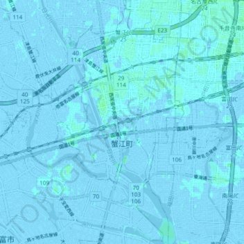
Name: Kanie topographic map, elevation, terrain.
Location: Kanie, Ama County, Aichi Prefecture, Japan (35.09694 136.76386 35.15738 136.80282)
Average elevation: 0 m
Minimum elevation: -7 m
Maximum elevation: 5 m
Make a donation
Gear up for your next adventure:
As an Amazon Associate, this site earns from qualifying purchases at no extra cost to you.
