Geolocate

Redmesa topographic map

Click on the map to display elevation.

About this map

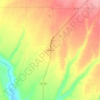
Name: Redmesa topographic map, elevation, terrain.

Location: Redmesa, La Plata County, Colorado, 81329, United States (37.07476 -108.19040 37.11476 -108.15040)

Average elevation: 1,987 m

Minimum elevation: 1,907 m

Maximum elevation: 2,040 m

Other topographic maps

Click on a map to view its topography, its elevation and its terrain.

Durango

United States > Colorado > La Plata County

Average elevation: 2,162 m

Ignacio

United States > Colorado > La Plata County

Average elevation: 1,984 m

Cherry Creek

United States > Colorado > La Plata County

Average elevation: 2,427 m

Missionary Ridge

United States > Colorado > La Plata County

Average elevation: 3,001 m

Cherry Creek

United States > Colorado > La Plata County

Average elevation: 2,205 m

Texas Creek

United States > Colorado > La Plata County > Columbus

Average elevation: 2,299 m

Grimes Creek

United States > Colorado > La Plata County

Average elevation: 2,718 m

Gear up for your next adventure:

🛏️Sleeping Bag - Warm and compact sleeping bags for outdoor camping
🧳Compression Sacks - Maximize space in your backpack by shrinking gear
🧥Softshell Jacket - Windproof and breathable jacket for hiking
🧭GPS Tracker - Track your location in remote areas safely
🧶550 Survival Paracord - Versatile utility cord for emergency repairs and rigging

As an Amazon Associate, this site earns from qualifying purchases at no extra cost to you.