Geolocate

Jorhat topographic map

Click on the map to display elevation.

Jorhat

Jorhat is located at 26°45′N 94°13′E / 26.75°N 94.22°E / 26.75; 94.22. It has an average elevation of 116 metres (381 feet).

Wikipedia (CC-BY-SA 3.0)

About this map

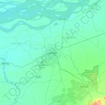
Name: Jorhat topographic map, elevation, terrain.

Location: Jorhat, Jorhat East, Jorhat, Assam, 785001, India (26.59779 94.04796 26.91779 94.36796)

Average elevation: 93 m

Minimum elevation: 74 m

Maximum elevation: 242 m

Gear up for your next adventure:

🎒Hiking Daypack - Lightweight and durable backpacks for day trips and excursions
🥾Light Hiking Boots - Lightweight and comfortable boots for day hikes
🥾Lightweight Hiking Boots - Boots for comfort and mobility on long hikes
Family Camping Tent - Spacious tent suitable for family camping trips
🥾Approach Shoes - Shoes designed for climbing approaches and rugged trails

As an Amazon Associate, this site earns from qualifying purchases at no extra cost to you.