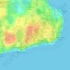
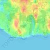
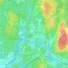
Hopkinton topographic map
Click on the map to display elevation.
About this map

Name: Hopkinton topographic map, elevation, terrain.
Location: Hopkinton, South County, Rhode Island, United States (41.38647 -71.80348 41.55417 -71.68725)
Average elevation: 63 m
Minimum elevation: 2 m
Maximum elevation: 162 m
Other topographic maps
Click on a map to view its topography, its elevation and its terrain.






Asa Pond Dam
United States > Rhode Island > South County > South Kingstown > Peacedale
Average elevation: 35 m
Asa Pond Dam
United States > Rhode Island > South County > South Kingstown > Peacedale
Average elevation: 35 m

Wakefield
United States > Rhode Island > South County > South Kingstown > Wakefield
Average elevation: 23 m