Geolocate

Tauwhare topographic map

Click on the map to display elevation.

About this map

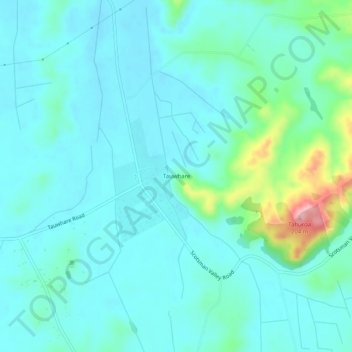
Name: Tauwhare topographic map, elevation, terrain.

Location: Tauwhare, Waikato District, Waikato, 3287, New Zealand (-37.78983 175.43919 -37.74983 175.47919)

Average elevation: 72 m

Minimum elevation: 45 m

Maximum elevation: 203 m

Other topographic maps

Click on a map to view its topography, its elevation and its terrain.

Lake Whangape

New Zealand > Waikato > Waikato District

Average elevation: 16 m

Lake Rotokauri

New Zealand > Waikato > Waikato District

Average elevation: 35 m

Hūnua Ranges

New Zealand > Waikato > Waikato District

Average elevation: 176 m

Lake Kimihia

New Zealand > Waikato > Waikato District

Average elevation: 34 m

Lake E

New Zealand > Waikato > Waikato District

Average elevation: 39 m

Gear up for your next adventure:

🧢Hiking Hat - Sun-protective and breathable hats for long treks
🥾Hiking Shoes - Durable and comfortable shoes for trail hiking
🔨Vehicle Emergency Tool - Safety tool for remote road trips to trailheads
🧥Ultralight Puffy Jacket - Maximum warmth that packs down to the size of an orange
Family Camping Tent - Spacious tent suitable for family camping trips

As an Amazon Associate, this site earns from qualifying purchases at no extra cost to you.