
Menlo topographic map
Interactive map
Click on the map to display elevation.
About this map
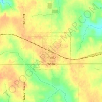
Name: Menlo topographic map, elevation, terrain.
Location: Menlo, Guthrie County, Iowa, United States of America (41.51665 -94.41090 41.52658 -94.39787)
Average elevation: 378 m
Minimum elevation: 353 m
Maximum elevation: 390 m