Geolocate

Sagulung topographic map

Click on the map to display elevation.

About this map

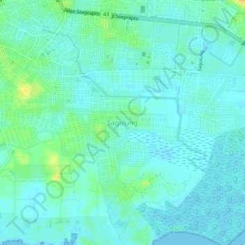
Name: Sagulung topographic map, elevation, terrain.

Location: Sagulung, Batam, Riau Islands, Sumatra, 29472, Indonesia (1.00833 103.94406 1.04833 103.98406)

Average elevation: 7 m

Minimum elevation: -2 m

Maximum elevation: 31 m

Other topographic maps

Click on a map to view its topography, its elevation and its terrain.

Sungai Kecil

Indonesia > Riau Islands > Batam > Batu Aji

Average elevation: 25 m

Gear up for your next adventure:

🥫Freeze-Dried Meals - Lightweight, high-calorie nutrition for multi-day treks
🧴Bear Spray Holster - Quick-access carry for essential Canadian wilderness safety
🛏️Sleeping Bag - Warm and compact sleeping bags for outdoor camping
🚲Heavy Duty Bike Lock - Secure your bike at the trailhead or during stops
🥘Camping Cookware Set - Compact nesting pots and pans for trail cooking

As an Amazon Associate, this site earns from qualifying purchases at no extra cost to you.