
Pavas topographic map
Interactive map
Click on the map to display elevation.
About this map
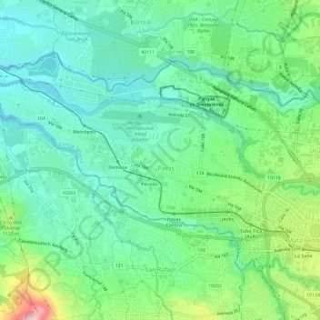
Name: Pavas topographic map, elevation, terrain.
Location: Pavas, Cantón San José, Provincia San José, 10109, Costa Rica (9.93532 -84.16834 9.96372 -84.11001)
Average elevation: 1,038 m
Minimum elevation: 927 m
Maximum elevation: 1,332 m