
Crooked Lake topographic map
Click on the map to display elevation.
About this map
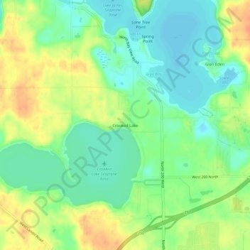
Name: Crooked Lake topographic map, elevation, terrain.
Location: Crooked Lake, Steuben County, Indiana, 46703, United States (41.65977 -85.05663 41.69977 -85.01663)
Average elevation: 307 m
Minimum elevation: 290 m
Maximum elevation: 330 m