Geolocate

Doral topographic map

Click on the map to display elevation.

About this map

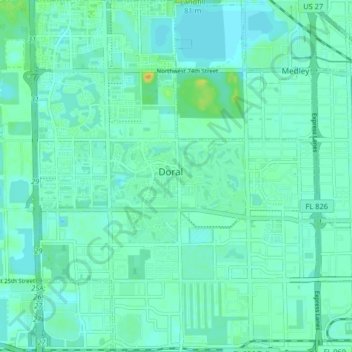
Name: Doral topographic map, elevation, terrain.

Location: Doral, Miami-Dade County, Florida, United States (25.78191 -80.38716 25.85526 -80.32102)

Average elevation: 6 m

Minimum elevation: 0 m

Maximum elevation: 26 m

Gear up for your next adventure:

🧢Outdoor Visor - Breathable visor for sunny hikes
🔪Outdoor Multitool - Versatile tool for repairs and food prep in the wild
🩹Compact First Aid Kit - Pre-packed essentials for common trail injuries
💡Compact LED Flashlight - Powerful and portable flashlight for outdoor use
🛌Insulated Sleeping Pad - Critical thermal barrier between you and the cold ground

As an Amazon Associate, this site earns from qualifying purchases at no extra cost to you.