Geolocate

Gunung Gede topographic map

Click on the map to display elevation.

About this map

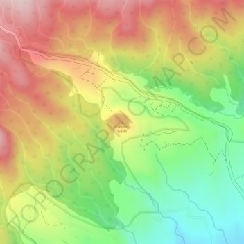
Name: Gunung Gede topographic map, elevation, terrain.

Location: Gunung Gede, Lumajang, East Java, Java, Indonesia (-8.02355 113.03775 -8.02345 113.03785)

Average elevation: 1,202 m

Minimum elevation: 1,017 m

Maximum elevation: 1,368 m

Gear up for your next adventure:

🛰️Satellite Messenger - Emergency communication for areas with no cell service
🛶Kayak Accessories - Essential gear for safe and fun kayaking adventures
💧Reusable Water Bottle - Durable water bottles for hydration on trails
🧴First Aid Kit - Essential first aid supplies for outdoor emergencies
🔥Camping Stove - Portable stoves to cook outdoors with ease

As an Amazon Associate, this site earns from qualifying purchases at no extra cost to you.