Geolocate

Altamonte Springs topographic map

Click on the map to display elevation.

About this map

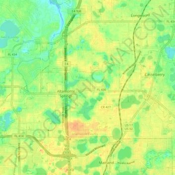
Name: Altamonte Springs topographic map, elevation, terrain.

Location: Altamonte Springs, Seminole County, Florida, United States (28.64009 -81.44340 28.68958 -81.34405)

Average elevation: 26 m

Minimum elevation: 6 m

Maximum elevation: 46 m

Gear up for your next adventure:

🚲MTB Frame Bag - Carry tools and maps directly on your bicycle frame
🚑Survival Whistle - Signal for help across long distances in mountains
🧢Outdoor Cap - Protective cap for sun and rain during hikes
🧥Waterproof Hiking Jacket - Protect yourself from rain and wind while hiking
🥾Hiking Shorts - Breathable shorts suitable for summer hikes

As an Amazon Associate, this site earns from qualifying purchases at no extra cost to you.