Geolocate

Sarupathar topographic map

Click on the map to display elevation.

About this map

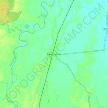
Name: Sarupathar topographic map, elevation, terrain.

Location: Sarupathar, Golaghat, Assam, India (26.15590 93.82358 26.23590 93.90358)

Average elevation: 120 m

Minimum elevation: 112 m

Maximum elevation: 133 m

Gear up for your next adventure:

🐕Hiking Dog Pack - Let your canine companion carry their own water and food
🛌Insulated Sleeping Pad - Critical thermal barrier between you and the cold ground
🔋Emergency Crank Radio - Weather alerts and power without needing batteries
❄️Traction Ice Cleats - Slip-on spikes for icy trails and winter hiking
🥾Waterproof Hiking Boots - Essential footwear for rugged terrain and wet Canadian trails

As an Amazon Associate, this site earns from qualifying purchases at no extra cost to you.