
Thank you for supporting this site ❤️
Make a donation
Make a donation
Gear up for your next adventure:
As an Amazon Associate, this site earns from qualifying purchases at no extra cost to you.
Sakteng topographic map
Click on the map to display elevation.
Thank you for supporting this site ❤️
Make a donation
Make a donation
Gear up for your next adventure:
As an Amazon Associate, this site earns from qualifying purchases at no extra cost to you.
About this map
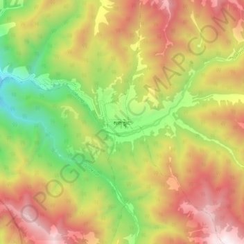
Name: Sakteng topographic map, elevation, terrain.
Location: Sakteng, Sagteng, Sagteng Gewog, Trashigang District, Bhutan (27.36377 91.88370 27.44377 91.96370)
Average elevation: 3,294 m
Minimum elevation: 2,399 m
Maximum elevation: 4,213 m
Thank you for supporting this site ❤️
Make a donation
Make a donation
Gear up for your next adventure:
As an Amazon Associate, this site earns from qualifying purchases at no extra cost to you.