Geolocate

Viduque topographic map

Click on the map to display elevation.

About this map

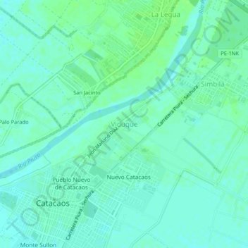
Name: Viduque topographic map, elevation, terrain.

Location: Viduque, Catacaos, Piura, 20006, Perú (-5.27276 -80.68450 -5.23276 -80.64450)

Average elevation: 25 m

Minimum elevation: 21 m

Maximum elevation: 30 m

Gear up for your next adventure:

🧦Crew Hiking Socks - Comfortable socks for long-distance hikes
🦌Outdoor Trail Camera - Monitor wildlife activity near your favorite spots
🍽️Titanium Camping Spork - Ultralight and indestructible eating utensil
🥾Light Trekking Boots - Supportive boots for multi-day treks
🔦LED Headtorch - Bright and durable light for night activities

As an Amazon Associate, this site earns from qualifying purchases at no extra cost to you.