Geolocate

Bela topographic map

Click on the map to display elevation.

About this map

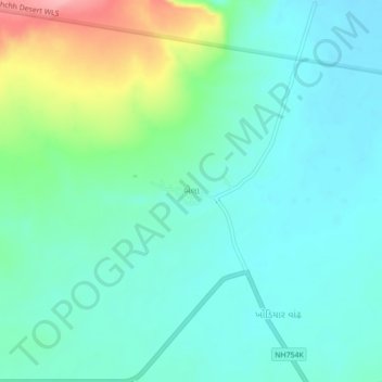
Name: Bela topographic map, elevation, terrain.

Location: Bela, Rapar Taluka, Kachchh, Gujarat, 370165, India (23.85374 70.78392 23.89374 70.82392)

Average elevation: 36 m

Minimum elevation: 5 m

Maximum elevation: 133 m

Gear up for your next adventure:

🛰️Satellite Messenger - Emergency communication for areas with no cell service
🥾Approach Boots - Comfortable boots for hiking and climbing approaches
🧰Emergency Multi-Tool - Compact multi-tool for outdoor survival
🔭Outdoor Binoculars - Lightweight binoculars for birdwatching and hiking
🗺️Topographic Maps - Detailed maps to explore trails, mountains, and wilderness areas

As an Amazon Associate, this site earns from qualifying purchases at no extra cost to you.