Geolocate

Kaitui topographic map

Click on the map to display elevation.

About this map

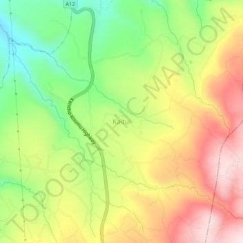
Name: Kaitui topographic map, elevation, terrain.

Location: Kaitui, Soliat ward, Sigowet/Soin, Kericho County, Kenya (-0.30330 35.14660 -0.26330 35.18660)

Average elevation: 1,694 m

Minimum elevation: 1,471 m

Maximum elevation: 1,929 m

Gear up for your next adventure:

Camping Coffee Maker - Brew fresh coffee anywhere on the topographic map
🥾Trail Hiking Shoes - Durable shoes designed for rugged trails
🔦LED Flashlight - Powerful and long-lasting flashlight for camping and emergencies
🚲Bike Repair Kit - Essential tools for on-trail mechanical issues
🛶Waterproof Dry Bags - Keep electronics and clothes dry during river crossings

As an Amazon Associate, this site earns from qualifying purchases at no extra cost to you.