Geolocate

Las Juntas topographic map

Click on the map to display elevation.

About this map

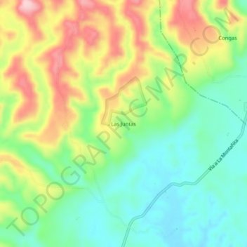
Name: Las Juntas topographic map, elevation, terrain.

Location: Las Juntas, La Montañita, Caquetá, RAP Amazonía, Colombia (1.50217 -75.38163 1.54217 -75.34163)

Average elevation: 346 m

Minimum elevation: 259 m

Maximum elevation: 478 m

Gear up for your next adventure:

💡Solar Camping Lamp - Eco-friendly lighting for campsites
🥾Hiking Leggings - Comfortable leggings for outdoor activities
💡Portable Camping Lamp - Rechargeable lamp for campsite lighting
Lightweight Backpacking Tent - Compact tent for efficient hiking trips
🥾Waterproof Hiking Boots - Boots keeping your feet dry in wet conditions

As an Amazon Associate, this site earns from qualifying purchases at no extra cost to you.