Geolocate

Noiraigue topographic map

Click on the map to display elevation.

About this map

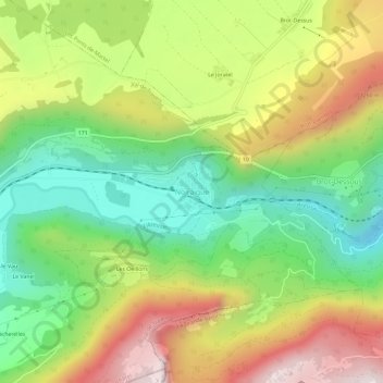
Name: Noiraigue topographic map, elevation, terrain.

Location: Noiraigue, Val-de-Travers, Neuchâtel, 2103, Switzerland (46.93455 6.70493 46.97455 6.74493)

Average elevation: 981 m

Minimum elevation: 639 m

Maximum elevation: 1,434 m

Gear up for your next adventure:

Camping Coffee Maker - Brew fresh coffee anywhere on the topographic map
🥫Freeze-Dried Meals - Lightweight, high-calorie nutrition for multi-day treks
🚲Bike Repair Kit - Essential tools for on-trail mechanical issues
🪑Ultralight Camping Stool - Compact seating for rest stops during long hikes
👟Leg Gaiters - Keep debris, mud, and snow out of your boots

As an Amazon Associate, this site earns from qualifying purchases at no extra cost to you.