Geolocate

Kenangan topographic map

Click on the map to display elevation.

About this map

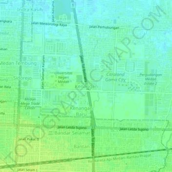
Name: Kenangan topographic map, elevation, terrain.

Location: Kenangan, Deli Serdang, North Sumatra, Sumatra, 20371, Indonesia (3.58698 98.70239 3.62698 98.74239)

Average elevation: 18 m

Minimum elevation: 12 m

Maximum elevation: 25 m

Other topographic maps

Click on a map to view its topography, its elevation and its terrain.

Gear up for your next adventure:

🧭GPS Outdoor Watch - Smart watch for navigation and fitness tracking in nature
💧Hydration Bladder - Hands-free hydration solution for long treks
🧢Beanie Hat - Keep your head warm in cold weather
🧶550 Survival Paracord - Versatile utility cord for emergency repairs and rigging
💡LED Headlamp - Hands-free illumination for night hiking and camping

As an Amazon Associate, this site earns from qualifying purchases at no extra cost to you.