Geolocate

Ayer topographic map

Click on the map to display elevation.

About this map

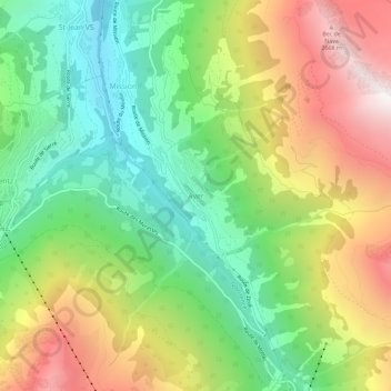
Name: Ayer topographic map, elevation, terrain.

Location: Ayer, Anniviers, Sierre, Wallis, 3961, Switzerland (46.15877 7.58327 46.19877 7.62327)

Average elevation: 1,859 m

Minimum elevation: 1,216 m

Maximum elevation: 2,764 m

Other topographic maps

Click on a map to view its topography, its elevation and its terrain.

Lac de Châteaupré

Switzerland > Wallis > Sierre > Anniviers

Average elevation: 2,646 m

Gear up for your next adventure:

🦟Insect Repellent - Keep mosquitoes and black flies away in wooded areas
🛁Quick-Dry Microfiber Towel - Space-saving towel that dries rapidly on the move
🌬️Windproof Camp Stove - Efficient cooking even on exposed mountain peaks
🧼Biodegradable Camp Soap - Environmentally friendly cleaning for gear and body
🐕Hiking Dog Pack - Let your canine companion carry their own water and food

As an Amazon Associate, this site earns from qualifying purchases at no extra cost to you.